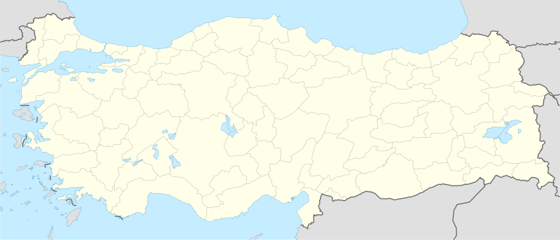
File:Turkey location map.svg
Appearance

Size of this PNG preview of this SVG file: 800 × 343 pixels. Waxyaabaha kale xalinta: 320 × 137 pixels | 640 × 274 pixels | 1,024 × 439 pixels | 1,280 × 549 pixels | 2,560 × 1,098 pixels | 1,579 × 677 pixels.
Faylka asalka ah (SVG file, nominally 1,579 × 677 pixels, file size: 976 KB)
Taariikhda faylka
Riix taariikhda/waqtiga si aad u argto faylka sida oo ahaa markiisa hore.
| Taariikhda/Waqtiga | Sawir yar | Cabirka | Isticmaale | Ka hadalka | |
|---|---|---|---|---|---|
| kan hadda | 08:15, 30 Abriil 2012 |  | 1,579 × 677 (976 KB) | NordNordWest | Reverted to version as of 19:49, 19 July 2008, updates by The Emirr destroyed the templates which use this map |
| 08:15, 30 Abriil 2012 |  | 1,579 × 677 (976 KB) | NordNordWest | Reverted to version as of 19:49, 19 July 2008, updates by The Emirr destroyed the templates which use this map | |
| 17:00, 29 Abriil 2012 |  | 1,900 × 823 (1.11 MB) | The Emirr | A river is added. | |
| 16:53, 29 Abriil 2012 |  | 1,900 × 823 (1.11 MB) | The Emirr | All borders and coasts are developed. Lakes and rivers are added. Completely new map. | |
| 16:51, 29 Abriil 2012 |  | 1,900 × 823 (1.11 MB) | The Emirr | All borders and coasts are developed. Lakes and rivers are added. Completely new map. | |
| 18:43, 18 Diseembar 2011 |  | 1,473 × 655 (10.77 MB) | The Emirr | The borders more official and realistic. | |
| 19:49, 19 Luuliyo ama Luulyo 2008 |  | 1,579 × 677 (976 KB) | NordNordWest | {{Information |Description= {{de|Positionskarte der Türkei}} Quadratische Plattkarte, N-S-Streckung 120 %. Geographische Begrenzung der Karte: * N: 42.5° N * S: 35.5° N * W: 25.4° O * O: 45.0° O {{en|Location map of [[:en:Turkey|Turke |
Faylka lagu isticmaalay
waxyaabaha soo socda ee bog ayaa adeegsanaya faylkaan:
isticmaalka faylka aduunka
Wikisyada kale ee soosocda ayaa adeegsanaya faylka:
- Ku isticmaal ace.wikipedia.org
- Ku isticmaal af.wikipedia.org
- Ku isticmaal als.wikipedia.org
- Ku isticmaal am.wikipedia.org
- Ku isticmaal ar.wikipedia.org
- مراد الثاني
- أفسس
- محمد الفاتح
- إسكي شهر
- سمرنة
- دير مار كبرئيل
- دير مار أوكين
- دير الزعفران
- قالب:خريطة مواقع تركيا
- قائمة مدن تركيا
- بطولة العالم لكرة السلة 2010
- كأس العالم تحت 20 سنة لكرة القدم 2013
- سارد
- كنائس آسيا السبع
- بيرغامون
- ثياتيرا
- قالب:كنائس آسيا السبع
- آلاشهر
- لاوديكيا
- الفتح الإسلامي لأرمينية
- خاتوشا
- قلعة داجلي
- شايونو
View more global usage of this file.


